Level 4 storm warning for eastern KZN on Tuesday. Here's what to expect
SAWS has issued a Yellow Level 4 severe thunderstorm warning for eastern KwaZulu-Natal on Tuesday, 27 October, plus rain warnings for the Eastern Cape coast and extreme fire danger in three provinces.
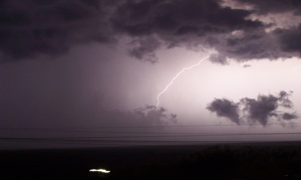
The eastern parts of KwaZulu-Natal face a Yellow Level 4 warning for severe thunderstorms on Tuesday, 27 October. The South African Weather Service (SAWS) says the storms could flood roads, homes and low-lying areas, close some bridges and roads, and put lives at risk (SAWS forecast via AfriWX).
Three more warnings are in place for Tuesday: Level 2 storms in western KZN, Level 2 disruptive rain on the Eastern Cape coast, and extremely high fire danger in parts of the North West, Free State and Limpopo (The Citizen).
Where in KwaZulu-Natal are the storms expected?
The Level 4 warning covers the eastern parts of the province, which includes the coast. SAWS expects heavy downpours, damaging winds, hail and lightning, with possible injuries, danger to life and damage to homes (formal and informal), vehicles, infrastructure and livestock (SAWS forecast via AfriWX).
Western KZN is under a Level 2 warning for the same kind of storms, with localised flooding and damage to infrastructure and settlements possible (SAWS forecast via AfriWX).
The rest of the province can expect fog patches inland in the morning, then cloudy, cool to warm weather with widespread showers and thundershowers. The south-west will be cold.
Tuesday's warning follows a Level 2 storm warning for eThekwini that ran from Sunday until Monday evening (SAnews).
Which parts of the Eastern Cape will get heavy rain?
A Yellow Level 2 warning for disruptive rain applies along the coast and adjacent interior east of Cape St Francis. SAWS says it could cause localised flooding of settlements, roads and bridges (SAWS forecast via AfriWX).
The eastern half of the province will be cloudy and cold to cool, with widespread showers and thundershowers south of the escarpment, clearing from the west in the afternoon.
Where is the fire danger extremely high?
SAWS expects extremely high fire danger over (SAWS forecast via AfriWX):
- most of the North West
- most of the northern Free State
- the Limpopo Valley
Both the North West and the Free State are forecast to turn windy after morning showers.
How hot will it get in Limpopo and Mpumalanga?
SAWS has an advisory for extremely hot temperatures over the extreme south-central parts and Lowveld of Limpopo, and in places over the Mpumalanga Lowveld (SAWS forecast via AfriWX). The rest of Limpopo will be hot to very hot, with isolated afternoon thundershowers.
What will the weather be like in the rest of the country?
- Gauteng: partly cloudy and warm, hot in the north, with isolated showers and thundershowers. UV index high.
- Western Cape: fine and warm in the west, with isolated morning showers along the eastern part of the south coast. UV index extreme.
- Mpumalanga: partly cloudy and warm with isolated thundershowers, cloudy with scattered showers in the east.
- Northern Cape: fine and cool to warm.
All provincial forecasts are from SAWS's bulletin issued at 15:09 on Monday (SAWS forecast via AfriWX; SAWS on X).
What should you do in a severe thunderstorm?
Durban residents can reach the eThekwini Disaster Management Centre on 031 361 0000. The city has warned people never to cross a swollen river or stream when water is above ankle height, and asked motorists to slow down and keep a safe following distance on wet roads (SAnews). Elsewhere, contact your municipality's disaster management centre.
Warnings can be upgraded or lifted during the day, so check SAWS before you travel.
Last updated: 26 October 2026, 18:55 SAST.
FAQ
Is there a weather warning for KwaZulu-Natal on Tuesday, 27 October 2026?
Yes. SAWS issued a Yellow Level 4 warning for severe thunderstorms in the eastern parts of KwaZulu-Natal and a Yellow Level 2 warning for western KwaZulu-Natal. Flooding of roads, homes and low-lying areas, and some road and bridge closures, are possible.
Which parts of the Eastern Cape have a rain warning on 27 October?
A Yellow Level 2 warning for disruptive rain covers the coast and adjacent interior east of Cape St Francis, with localised flooding of settlements, roads and bridges possible.
Where is there extremely high fire danger on Tuesday?
Over most of the North West, most of the northern Free State and the Limpopo Valley, according to SAWS.
Who do I call in Durban if storms cause flooding?
The eThekwini Disaster Management Centre is on 031 361 0000. Elsewhere, contact your local municipality's disaster management centre.