Monday weather warnings in 6 provinces: is yours on the list?
SAWS warns of severe thunderstorms over most of KwaZulu-Natal on Monday, 26 October, damaging winds in the western Free State and extremely high fire danger across much of the interior.
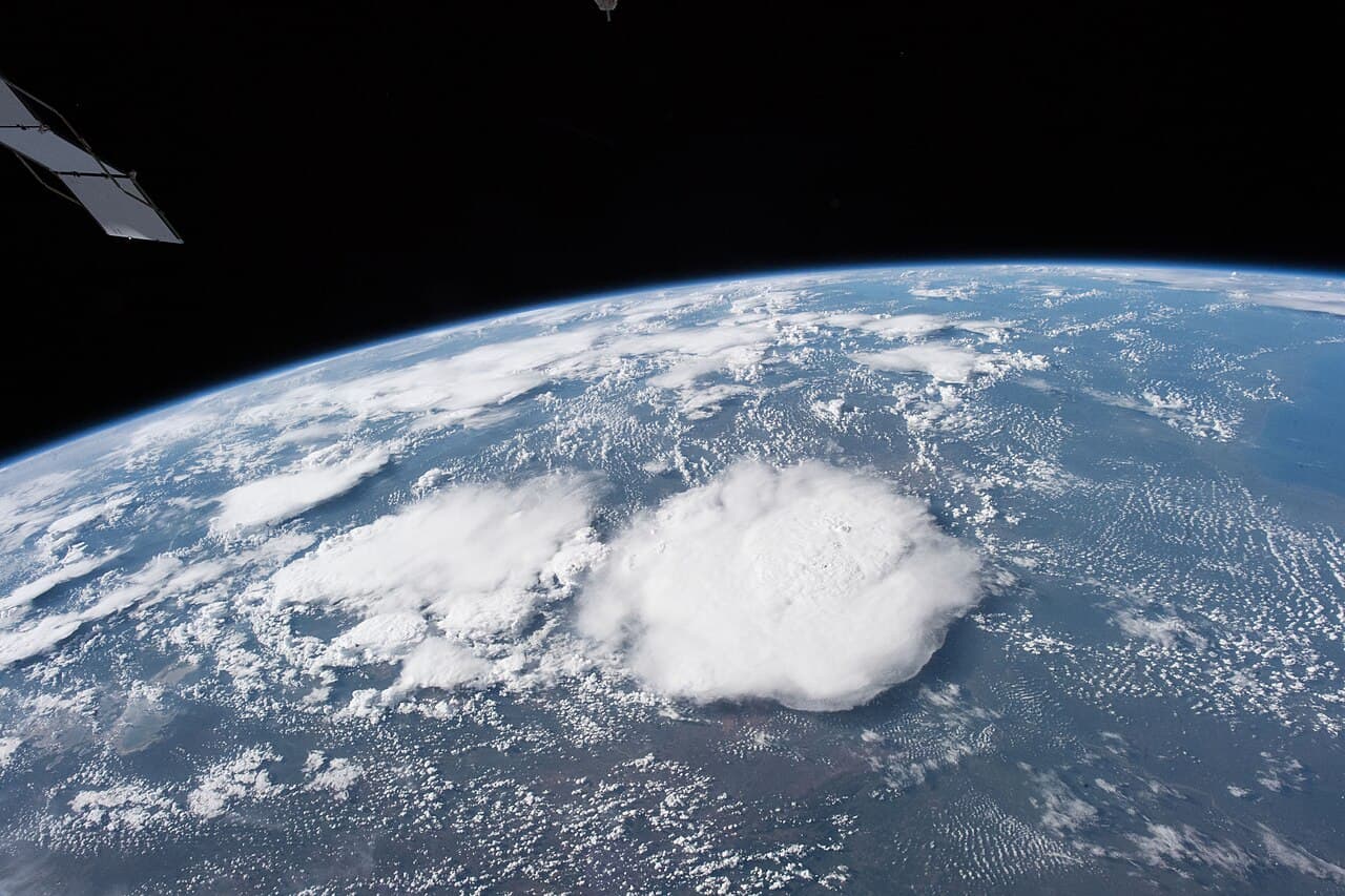
Six provinces are under weather warnings on Monday, 26 October. The South African Weather Service (SAWS) expects severe thunderstorms over most of KwaZulu-Natal, damaging winds in the western Free State and extremely high fire danger across much of the interior (SAWS forecast via AfriWX; The Citizen).
Where are the severe thunderstorms?
A Yellow Level 2 warning covers most of KwaZulu-Natal, except the extreme north-east, and the extreme northern parts of the Eastern Cape. SAWS says heavy downpours, damaging winds, hail and lightning could cause localised flooding and damage to infrastructure and homes (SAWS forecast via AfriWX).
The eThekwini Municipality expects Durban to be hit hard, with the warning running until Monday evening. It asked motorists to slow down, keep a safe following distance and avoid unnecessary travel, and warned people never to cross a swollen river or stream once water is above ankle height (IOL). Durban is forecast to range between 20°C and 23°C, with scattered showers and thundershowers (The South African).
SAWS had earlier issued its Level 2 storm warning for the eastern half of the Eastern Cape (SAWS on X). Its latest forecast, issued at 15:17 on Sunday, narrows that to the extreme north of the province (SAWS forecast via AfriWX).
Who should watch out for damaging winds?
A Yellow Level 1 warning for damaging winds applies to the western Free State and the extreme eastern parts of the Northern Cape (SAWS on X; SAWS forecast via AfriWX). SAWS says the wind could damage homes and other structures, hurt crops, and disrupt roads and travel through falling trees or dust storms.
Bloemfontein is expected to be windy, with a high of 32°C (The South African).
Where is the fire danger extremely high?
SAWS expects extremely high fire danger in (SAWS forecast via AfriWX):
- the North West
- central and eastern Northern Cape, and places in the west of the province
- most of the Free State
- most of Limpopo
- places in western KwaZulu-Natal
Mahikeng is forecast to reach 34°C, with wind (The South African).
What will the weather be like in Gauteng and the rest of the country?
SAWS's provincial outlook for Monday (The Citizen):
- Gauteng: partly cloudy and warm to hot, with isolated afternoon showers and thundershowers in the south
- Mpumalanga: partly cloudy and warm, with isolated showers on the eastern and southern Highveld, and hot to very hot in the Lowveld
- Limpopo: fine and hot to very hot
- Western Cape: cloudy with isolated showers and rain in the south, otherwise fine and warm
- Western half of the Eastern Cape: cloudy and cool along the coast, with isolated thunderstorms inland and in the north
Who do you call in an emergency?
In Durban, the eThekwini Disaster Management Centre is on 031 361 0000 (IOL). Elsewhere, contact your municipality's disaster management centre. Warnings can change during the day, so check SAWS before you travel.
Last updated: 25 October 2026, 18:30 SAST.
FAQ
Which areas have severe thunderstorm warnings on Monday, 26 October?
SAWS has a Yellow Level 2 warning for most of KwaZulu-Natal, except the extreme north-east, and the extreme northern parts of the Eastern Cape.
Is Durban affected by the storm warning?
Yes. The eThekwini Municipality expects heavy rain, hail, damaging winds and lightning until Monday evening. Its Disaster Management Centre is on 031 361 0000.
Where are damaging winds expected on Monday?
SAWS has a Yellow Level 1 warning for damaging winds over the western Free State and the extreme eastern parts of the Northern Cape.
Where is fire danger extremely high on Monday?
In the North West, central and eastern Northern Cape, most of the Free State and Limpopo, and places in western KwaZulu-Natal and the western Northern Cape.
Will Gauteng get storms on Monday?
SAWS expects Gauteng to be warm to hot with isolated afternoon showers and thundershowers in the south. There is no storm warning for the province.
Sources
- SAWS forecast for Monday 26 October (republished by AfriWX)
- SAWS on X: Yellow Level 1 damaging winds warning
- SAWS on X: Yellow Level 2 severe thunderstorms warning, Eastern Cape
- The Citizen: Thunderstorms, damaging winds and fire danger warnings for Monday
- IOL: Yellow Level 2 thunderstorm warning issued for eThekwini
- The South African: Severe storms and damaging winds expected in two provinces
- South African Weather Service