KZN storms and hail on Sunday: Level 2 warning from 10am to 11pm
SAWS has issued a Yellow Level 2 warning for severe thunderstorms with hail, damaging winds and flooding over central and eastern KZN on Sunday, 25 October, plus extremely high fire danger in parts of the interior.
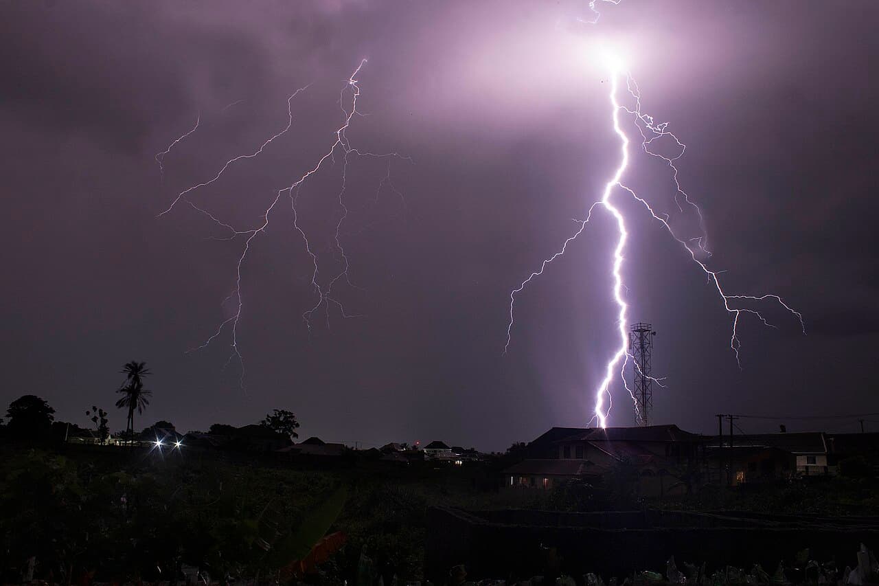
The South African Weather Service (SAWS) has issued a Yellow Level 2 warning for severe thunderstorms over the central and eastern parts of KwaZulu-Natal on Sunday, 25 October. It runs from 10am until 11pm (Zululand Observer; The South African).
Heavy downpours, damaging winds, hail and a lot of lightning are possible, with localised flooding and damage to homes and infrastructure (The Citizen).
Which parts of KZN are affected?
The severe storms are expected over central and eastern KZN. Isolated showers and thundershowers are forecast across the rest of the province, except the extreme north-east (Zululand Observer).
SAWS said a deepening surface trough over the KZN interior is driving the storms (Zululand Observer).
What could the storms do?
SAWS lists these possible impacts (Zululand Observer; The South African):
- Localised damage to settlements and infrastructure
- Flooding of vulnerable roads and bridges
- Slippery roads, poor visibility and minor crashes, with dirt roads especially difficult
- Large amounts of small hail, or large hail in places
Durban is forecast to be partly cloudy to cloudy with isolated showers and thundershowers, and a range of 19°C to 26°C. Winds turn moderate to fresh south-westerly in the afternoon (The South African).
Where is the fire danger extremely high?
A separate SAWS warning covers extremely high fire danger over most of the central interior and in places in the northern parts of KZN and the Eastern Cape on Sunday (The Citizen; The South African).
The North West and Free State are forecast to be windy and hot, with Mahikeng reaching 33°C and Bloemfontein 31°C (The South African). Hot, windy weather makes veld fires spread quickly, so avoid burning rubbish or making open fires.
How should you prepare?
SAWS advice, as reported by The South African:
- Check the latest warnings through the day, especially if you live in a flood-prone area.
- Slow down when visibility drops and never drive through a flooded road or low-water bridge.
- Get inside a solid building when a storm approaches and stay out of open areas during lightning.
Official warnings are published on the SAWS website. In an emergency, call 112 from a cellphone or 10177 for an ambulance.
FAQ
When is the KZN thunderstorm warning in effect?
The Yellow Level 2 warning runs from 10am to 11pm on Sunday, 25 October 2026.
Which parts of KwaZulu-Natal will get severe storms?
SAWS expects the storms to turn severe over the central and eastern parts of KZN. The extreme north-east is expected to stay dry.
Could there be hail?
Yes. SAWS warns of possible large amounts of small hail, or large hail in places, along with damaging winds and heavy downpours.
Where is fire danger extremely high on Sunday?
Over most of the central interior and in places in the northern parts of KwaZulu-Natal and the Eastern Cape.