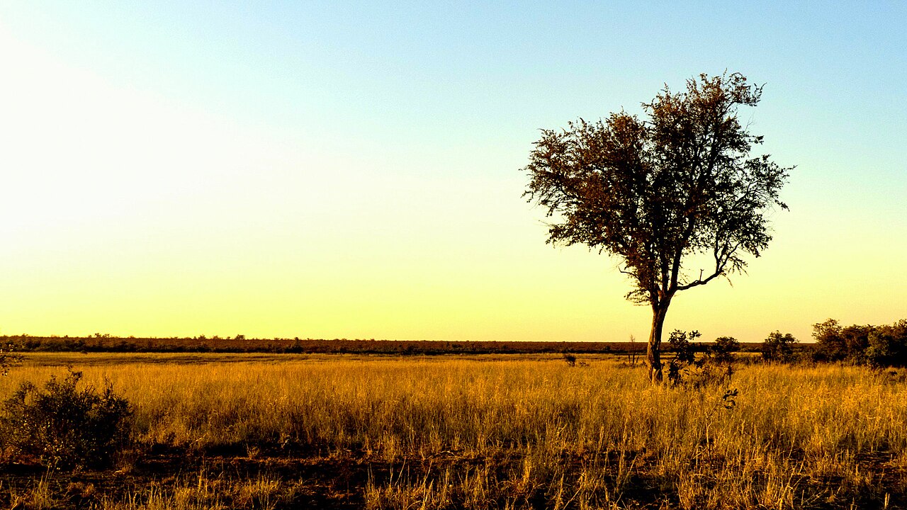
Less rain likely until March. What El Niño means for your summer
Javier Puig Ochoa via Wikimedia Commons, CC BY 3.0
Most of South Africa's summer rainfall region is now more likely than not to get below-normal rain from November right through to March, the South African Weather Service (SAWS) says in its latest seasonal outlook, as a very strong El Niño builds in the Pacific (Daily Maverick).
The north-east, including Limpopo, Mpumalanga and the Kruger National Park, is expected to take the biggest knock. Temperatures are also forecast to run above normal over most of the country.
What exactly is SAWS forecasting?
In its October Seasonal Climate Watch, SAWS said the forecasts for November to January, December to February and January to March all show "an increased likelihood of below-normal rainfall across large parts of the summer rainfall region" (Daily Maverick).
The dry signal is strongest over the interior and the north-eastern half of the country, which normally gets most of its rain in summer. SAWS issued this month's outlook almost two weeks earlier than usual (Daily Maverick).
Its previous outlook, issued on 30 September, already expected above-normal minimum and maximum temperatures for most of South Africa through spring and early summer (SAWS).
How strong is this El Niño?
Very strong, and possibly a record. The World Meteorological Organization (WMO) said in September there was a near 100% likelihood that El Niño would last until at least February 2027 (WMO).
Its latest seasonal update says sea temperatures in the tropical Pacific could reach 3.8°C above average between November 2026 and January 2027. An El Niño is declared at just 0.5°C (Daily Maverick). The World Food Programme puts the chance that this event becomes the strongest since 1950 at 75% (WFP).
SAWS expects the El Niño, combined with global warming, to make 2027 the warmest year on record (SAWS).
Does El Niño always mean drought?
No. SAWS points out that the El Niño years of 1982/83 and 2015/16 brought widespread drought, but the very strong event of 1997/98 actually came with slightly above-normal rain over parts of the summer rainfall region (SAnews).
Seasonal forecasts give odds, not certainty, and say nothing about the timing of individual storms or heatwaves. SAWS updates them monthly (SAWS).
What could it mean for water, farms and the Kruger?
SAWS warns that less rain and more heat will speed up water loss and put pressure on already water-scarce areas, mostly in the north-eastern half of the country. Dry soils could cut groundwater recharge (SAWS).
For farmers, the outlook points to heat stress in crops and livestock and a higher risk of veld fires (SAWS). In the Kruger, the main risks are wildfires and drought (Daily Maverick).
There is some cushion. Dam levels are currently high, food inflation is low and maize stocks are ample (Daily Maverick). Treasury has also set aside a R10 billion contingency reserve for drought and El Niño response in the mini-budget (Reported).
What should you do?
SAWS expects heatwaves to come more often if the dry forecast holds, and says they could be severe (SAWS). Its health guidance for the season is:
- drink enough water and limit time in extreme heat
- use cool or shaded spaces
- use water sparingly and keep up safe water and hygiene practices, since shortages raise the risk of diarrhoeal illness
Children, older people, outdoor workers and people with existing health conditions are most at risk from heat (SAWS).
Follow the monthly SAWS seasonal forecast and daily warnings for your area, and check your municipality's notices for any water restrictions.
FAQ
Will South Africa have a dry summer in 2026/27?
SAWS says below-normal rainfall is more likely than normal over large parts of the summer rainfall region from November 2026 to March 2027, especially in the interior and the north-east. It is a probability forecast, not a guarantee.
Which areas are most affected by the El Niño forecast?
The interior and the north-eastern half of South Africa, including Limpopo, Mpumalanga and the Kruger National Park, show the strongest dry signal in the SAWS outlook.
Does El Niño always cause drought in South Africa?
No. The 1982/83 and 2015/16 El Niño events brought widespread drought, but the very strong 1997/98 event came with slightly above-normal rain over parts of the summer rainfall region, according to SAWS.
Will it be hotter than normal this summer?
Yes, most likely. SAWS expects above-normal minimum and maximum temperatures over most of the country in spring and early summer, and says heatwaves are likely to be more frequent if the dry forecast holds.
How do I protect myself from El Niño heat?
SAWS advises drinking enough water, limiting exposure to extreme heat, using cool or shaded spaces and using water sparingly. Children, older people, outdoor workers and people with health conditions are most at risk.
Sources
- Daily Maverick: Weather service sounds El Niño alarm for north-east
- SAWS Seasonal Climate Watch, October 2026 to February 2027
- SAWS statement on the 2026/27 El Niño
- SAnews: SAWS warns of very strong El Niño
- WMO: El Niño set to become very strong
- WFP Eastern and Southern Africa Seasonal Outlook, October 2026
- SAWS seasonal forecasts